Tag Archives: hiking

Marin Headlands Loop in Reverse

9:51pm - Rodeo Beach

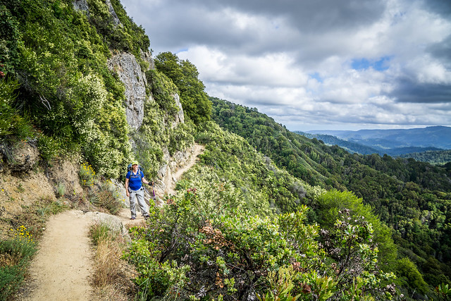
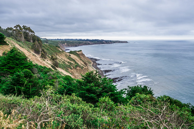
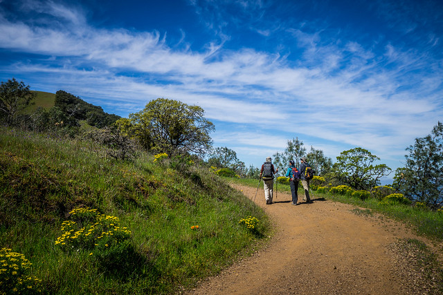
Saturday, 18 June 2016. Marin Headlands (25-mile) Loop Counter-Clockwise

This jaunt marked the 4th time DD’s traversed this trail, and my 2nd (account of my 1st here). The challenge – start at 2pm and finish after dark (~10pm), and do the loop in the opposite, counter-clockwise direction. Our plan:

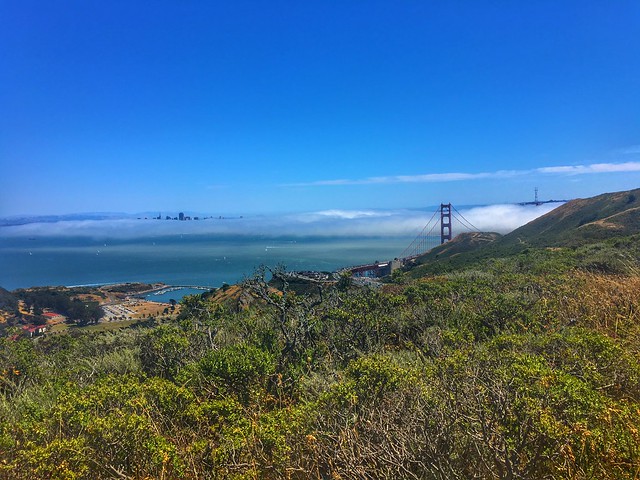
  • Segment 1: Rodeo → Lagoon Trail →  Bobcat Trail → SCA Trail → Slacker Pass → Golden Gate Bridge
  • Segement 2: Golden Gate Bridge → Slacker Pass → SCA Trail → Marincello → Tennessee Valley
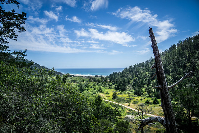
  • Segment 3: Tennessee Valley → Miwok Trail → Coyote Ridge → Muir Beach → Pirate’s Cove → Tennessee Valley
  • Segment 4: Tennesee Valley → Old Springs Trail –> Wolf Ridge → Coastal Trail → Rodeo Beach

Continue reading

Share

Thirty Miles in the Marin Headlands

Looking back from the SCA Trail

Sunday, 5 June 2016. A 25-mile loop in the Marin Headlands, and a little more.

DD’s latest obsession has been exploring the intersection of hiking and ultra-running, for which lines definitely begin to blur as distances become longer. To that end, he’s been training and speculating on how he might be able to complete a 50-mile race while primarily hiking (since most humans do hike the uphills during races) and jogging/ running the downhills and flats.

In his sights (though he has not yet signed up for it), is Pacific Coast Trail Run’s Marin Headlands Hundred race, which offers distances of a marathon, and 50, 75, and 100 miles.

Continue reading

Share

Skyline to the Sea Day 3

First glimpse of ocean, on our last stretch of Skyline to the Sea

Sunday, 22 May, 2016. Jay Camp/ Big Basin HQ to Waddell Beach. 10.2 miles.

I woke again to the sounds of birds, trilling at first light, and occasional loud insect buzzing. A woodpecker also made its presence known. Mosquitoes were still out at this hour, though thankfully not as much as the evening prior.

Breakfast (Mountain House Scrambled Eggs and Bacon is not as good as Mountain House Breakfast Skillet), camp breakdown, a last scouring of the area to make sure we are LNT, and we were off. Hooray for warm water coming out of the taps in the bathrooms!

Heading out of Big Basin HQ

Big Basin, even at 10am on a Sunday morning, was already crowded with a goodly number of visitors. As we set off from HQ, we passed numerous groups who looked like they were on their own walkabouts, and some who appeared to be headed to Berry Creek Falls.

Unlike the day before, it was a little sunny in certain sections, but the tree cover provided a great canopy and shade so it never really got too warm. The trail thinned out in sections and began to get crowded again as we neared the Falls.

Continue reading

Share

Skyline to the Sea Day 2

Our little group, ready!

Saturday, 21 May, 2016. Waterman Gap to Big Basin HQ and Jay Camp. 9.84 miles

I woke and dozed intermittently with sunrise, the sounds of the birds, the various creakings and sighings of a camp coming to life. In the night I had also occasionally woken to the sounds of rain pitter-pattering on our tent. The drizzle would last barely a minute before stopping. This would be the pattern for the morning as we made our way to Big Basin headquarters.

We were the last ones out of the camp. We finally emerged from our tents relatively late, ~ 7am, but we were taking our time to be able to wait for Caiti. She arrived ~9:45, and had clearly hustled to get to where we were. She had arrived late last night at Castle Rock parking lot and ended up hiking in the dark. That didn’t bother her so much as a sketchy guy in the parking lot who had put wings to her heels and helped power her to Castle Rock trail camp 2 miles away.

Continue reading

Share

Skyline to the Sea Day 1

C in Castle RockFriday, 20 May, 2016. Castle Rock to Waterman Gap. 9.22 miles.

To shuttle or not to shuttle, that was the question. Whether ’tis nobler in the mind to suffer, the slings and arrows of a long day of driving, in order to have 2 vehicles at the beginning and ending trailheads, or to take a stand against too much fuss, and by opposing, choose to take a taxi or uber at the end.

Our last point to point in Point Reyes had been marked by some 2.5 hours of driving between two trailheads before we even began our hike, and DD did not want to repeat that again, sure to be longer on this particular trip. So on Friday, DD, Christina and I set out from San Francisco a little after 1:30pm and headed south, and met Jared at the Castle Rock parking lot around 3pm.

Continue reading

Share

Point Reyes from Palomarin to Drake’s Estero

Obligatory View Photo

7 May 2016. 22.92 miles, with a nice stop at PRNSA’s Fireside Chat.

Another weekend, and another long hike. At the house, we’ve gotten into some sort of cadence with each other’s schedules, which means DD almost always schedules a long hike on Saturday, and I’ve been alternating my long run-weekends with joining along on those long training hikes every other Saturday.

He was fresh from the exhiliration of a successful and relatively pain-free Skyline-to-the-Sea 27-mile day-long, thru-hike with Justin the prior weekend, and was looking to extend his collection of 20-plus milers.

Our 24-mile path would have us launching from Palomarin, at the popular trailhead for the hike to Alamere Falls, then heading north on the Coast Trail until we reached Limantour Spit Road. There, if our timing was just right, we’d be able to take a detour to the Clem Miller Environmental Education Center, where the Point Reyes National Seashore Association was having their annual Fireside Chat for some of their members. From Limantour, depending on how we were feeling, we’d take Muddy Hollow to Estero Trail, and end up back at a parked car at the Drake’s Estero.

Continue reading

Share

Mt. Sizer Loop – Henry Coe State Park

Prettiness abounds

23 April 2016. 14.62 miles, including ascending the Hobbs Road Short Cut.

The trip started out a bit inauspiciously, as I had zoned out and missed the E. Dunne exit from 101 South. DD rerouted us back through Gilroy on some surface streets, and my detour ended up delaying our start by only about 10 minutes.

Henry Coe is out in Morgan Hill, and driving to it from the freeway exit requires an extra 13-mile slow slither along a narrow and windy road that snakes through a residential area and then past Anderson Lake Park, climbing, climbing, hair-pinning up to the top, where E. Dunne dead-ends right into the Henry Coe Visitor Center.

The trek we were planning had a reputation for difficulty, most especially a segment of the trail called the “Shortcut,” which apparently, is a very steeply graded slope covering 1500 feet in about 1.5 miles. DD had prepared me for it by saying it was “like the Warmup and Big Burn on Ohlone.” And so, by reading through a couple of other blog posts and trip reports, I felt mentally prepared. I carried with me mostly water weight – about 4 litres total, including one Nalgene of electrolyte drink, which I mixed up before we left.  Continue reading

Share

Looping the Devil – A hike on Mt. Diablo

Up and Up on Mitchell Canyon Road

2 April, 2016. 13.2 to 13.67 miles, depending on which tracker you believe.

One of the hikes we’ve had on the list was a fairly lengthy one on Mt. Diablo. We projected that we’d need to do this hike soon, in the Spring, before it got unbearably hot. I had run Brazen’s Mt. Diablo Half Marathon almost around the same time the year before, and found that I got really lucky with the weather, where it was only in the mid-70s by the time I finished. This hike’s forecast turned out similarly, relatively mild, where the highest temps forecast were also in the mid 70s.

We took as our guide Alice Hikes’ most excellent account. I was torn between wanting to spend time with puppy, errands, keeping up with my running — fitting in a long run during the week — and other assorted house stuff before my DC trip, but finally decided that I wanted to go with the group.

Continue reading

Share

Snow Basics Day One

Setting up camp in snow

I rose while it was still dark, so I could jump into the last shower of the weekend, finish packing, and hustle off to breakfast. At 9am, we were supposed to meet Ned and the rest of the group at Motel 6, a little further south and en route to our trailhead at Echo Lake. Despite our excitement, we had slept pretty well, what with DD’s white noise app helping to drown out the sounds of the start-and-stop air conditioner/ heat regulator.

I chose the Holiday Inn Express in part of their free breakfast, which included hot options. So it was convenient for us to sort of roll out of our rooms and to the breakfast bar area without much ado. At 7:30am, it was grey and cloudy, and sputteringly drizzly, but no snow, yet.

Continue reading

Share

Hiking the Ohlone Wilderness Trail Day Two

Rolling Hills

Eighteen Miles. Eighteen Miles! I should have figured it out on my own, when DD said that we’d be thru-hiking 28 miles, and completing only 10 in the first day. But I was stunned and demoralized on Day 1 and couldn’t comprehend another day that was longer and possibly as difficult as the first. I’ve run 18 miles in the past, but on relatively flat terrain or in San Francisco where hills were not as prolonged or steep, and certainly not while carrying a full 20+ pound backpack.

DD assured me that today’s route would be easier, that the inclines were not as steep, and there might be points on the trail (such as the Sunol Visitor Center, 10 miles in) where we could cut it short, if we really were exhausted. That cheered me up a bit.

Continue reading

Related Posts Plugin for WordPress, Blogger...
Share